The past week has seen some unpleasant wind chill in many of the typical cold spots of western and Arctic Alaska. The conditions haven't been particularly extreme by historical standards, but this serves as an opportunity to look at what is unusual or extreme according to local climatology.
Let's start with Bethel, where strong cold outflow from the interior quite often brings notable wind chill. On Monday morning the temperature was -15°F with a sustained northeast wind of 35mph (see below), which is good for a wind chill of -47°F. This is just a few degrees shy of what's typical for the lowest wind chill of the winter (around -50°F). The average wind chill for the duration of Monday in Bethel was -43°F, and a day like this has occurred in about two-thirds of winters in recent decades (although not at all from winters 2012/13 through 2015/16).
Based on the 1991-2020 history, a wind chill of -40° occurs about 5% of the time in Bethel in December through February, and the wind chill is below -50°F about 1% of the time on average. For its latitude and (sea level) elevation, Bethel is remarkably prone to very low wind chill.
The Arctic coast had similar wind chill yesterday, although there it was much less unusual. Barter Island measured -55°F for wind chill in the afternoon on a stiff easterly breeze:

Up at Barter Island, the winter's worst wind chill is typically a full 10°F lower, at -63°F, based on the 1991-2020 history. Remarkably, since 1991 the location has spent about 2% of the time in January with a wind chill below -60°F, although the majority of this time occurred in just a few severe and prolonged events; some winters do not see a wind chill of -60°F.
To summarize the low wind chill climate of the exposed west and north coast of Alaska, the figures below show the 10% and 1% levels of hourly wind chill for Bethel, Nome, Kotzebue, Utqiaġvik, and Barter Island. The 10% level might be considered a threshold of "unusual" low wind chill, and occurs nearly every winter, whereas the 1% level represents a more extreme event that occurs in less than half of winters.


It's interesting to note that Nome is relatively sheltered from the northerly winds that would otherwise bring the lowest wind chill, and so it has easily the least extreme wind chill climate of these locations. Also, the prolonged winter of the Arctic coast is evident, as low wind chill hangs on into March and even April for Utqiaġvik and Barter Island. Readers will no doubt spot other interesting aspects - feel free to leave a comment.
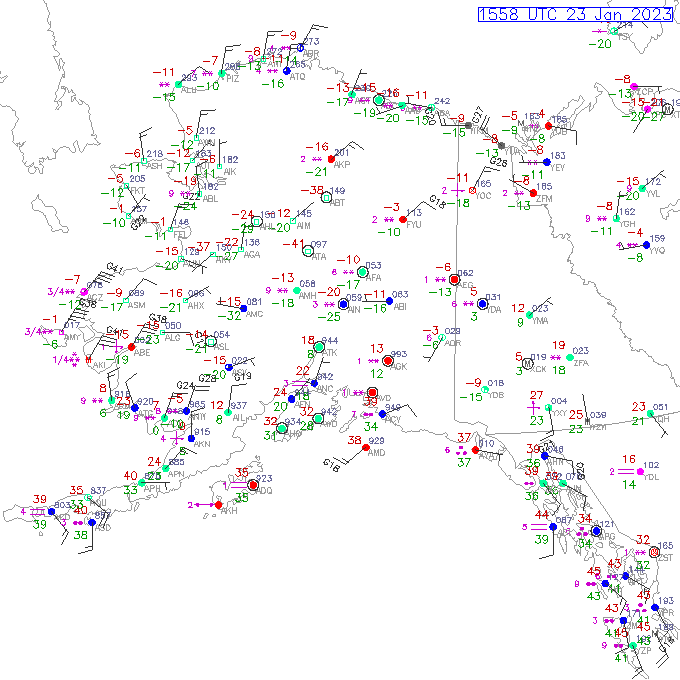
Hi, I'm really curious about that strange weather we had in the central interior on Sunday Jan 29. The part that was strange is it looked like we were in a high-pressure zone, so I would have expected clear skies and cold weather. But instead we got high-temps, high RH, and overcast skies plus snow. In Fairbanks, I got sudden thick frost formation on my vehicle windows in the late afternoon, which was unusual. Mainly I was wondering if there is some name for that kind of strange high-pressure behavior.
ReplyDeleteHi, there was certainly high pressure a couple of days earlier, peaking at 1046mb at Fairbanks on Thursday afternoon. But pressure was falling quickly on Sunday, and in fact Environment Canada analyzed a new trough and low pressure center over the eastern interior on Sunday afternoon. The temperature rose from -11F on Thursday to +26F by Sunday evening as the increased cloud (and some breeze) weakened the surface inversion.
DeleteThe only thing I can surmise about the frost formation is that the breeze brought in suddenly higher humidity, leading to vapor deposition on surfaces chilled by prior cold. I don't know of any other name for the phenomenon.
Interesting report, thanks.
One thing I always find noteworthy about windchill is that people older than me (in their 40's and above) comment that "wind chills used to be so much colder". They reference windchill readings from the 1970's and 1980's that were -70 or colder. Those of us who follow these sorts of things know that the windchill chart was revised in the 1990's, but there are many thousands of older Alaskans who either missed that press release entirely or have forgotten about it.
ReplyDeleteInteresting. I don't doubt it at all. The change in the wind chill definition may be an inconvenient truth for those who like to tell tales.
DeleteI have an old wind chill chart. It indeed was colder before they warmed the effective temps when windy. It became a kinder gentler world after the revision.
DeleteLooks like the record at McGrath of -100F wind chill just got beat by Mt Washington, NH, with -107F (-45.5F and 95 mph!). However, Mt Washington in my book is not a populated place. Does anyone know: is -100F still the record for Alaska, including high elevation places like Howard Pass or the weather stations on Denali? Surely Denali Can beat Mt. Washington. I think the main trouble is that the anemometers keep getting blown away.
ReplyDeleteMy understanding is that Howard Pass hasn't (yet) broken its 2013 record, which itself tied the McGrath record.
Deletehttps://ak-wx.blogspot.com/2014/12/howard-pass-national-wind-chill-record.html
I haven't looked at any of the data from Denali, but there seems little doubt that the lowest US land-surface wind chill would be up there. Apparently the Japanese had an instrument near 19,000 feet that recorded a wind chill of -118F (new definition).
Not on topic here, but is anyone noticing the relatively warm winter this has turned out to be in Interior Alaska...so far at least? Was it forecast or has ENSO flipped earlier than expected?
ReplyDeleteIt's been breezy near our periodic surface inversion....both above and around Fairbanks. The University power plant's exhaust informs. Up it goes then takes off sideways with prevailing wind...some to the South but also NW as well.
DeleteYes, an interesting and perhaps surprising lack of cold, given that La Nina is still definitely in play (weaker, but not gone). But NOAA/CPC had warm for western Alaska, and "equal chances" for much of the interior, so not all are surprised. Good topic for a blog post.
Delete