The weather map is looking a bit wintry this evening, with heavy snow for parts of the southwestern interior and west coast, courtesy of a strong Bering Sea storm. A cold air mass is settling into northern and eastern Alaska. In short, autumn is over.

The Bering Sea storm has intensified on approach to the Y-K Delta region, and has a central pressure near 970mb at present. It will redevelop tomorrow in the northern Gulf of Alaska, reaching about 960mb not far from the northern Gulf coast; that's a strong storm for the time of year.


Ice is running in the Chena and Tanana Rivers, but not a whole lot just yet. With cold in the forecast, there will be a lot more by the end of the month.

Little bit of ice running Tuesday morning on Ch'eno' (Chena River) in downtown Fairbanks. #akwx @FreshEyesonIce https://t.co/uP1GQY5PtS
— Rick Thoman (@AlaskaWx) October 25, 2022
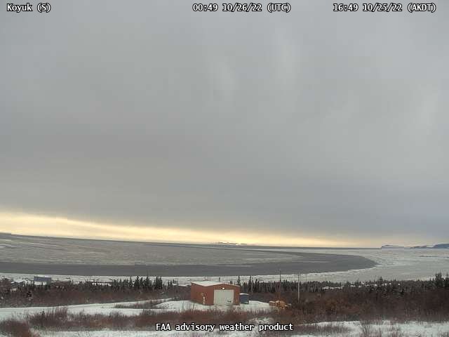
Freeze-up is progressing more substantially on the Koyuk River:
On another note, a question from Rick Thoman today prompted me to update a graphic showing the ice-free season along the Northern Sea Route (Arctic Russian waters) in the past two decades. As I noted earlier, there was speculation in early August (by the NSIDC, no less) that the NSR might not open this year, but the situation turned around quickly in August in the East Siberian Sea. In the end, there was a window of about 45 days for ice-free navigation (judging from the NSIDC Sea Ice Index maps).

No comments:
Post a Comment