Wednesday, March 29, 2023

Another Kotzebue Blizzard

It's only been 3 weeks since I wrote about back-to-back blizzards in Kotzebue that led to a local disaster declaration (news link courtesy of reader Gary), but another major storm affected the area last weekend.  Remarkably, hurricane-force wind gusts were reported by the airport ASOS, although the observations were missing for several hours, so perhaps the instruments malfunctioned.

By my count, this makes five real blizzards in Kotzebue this winter: November 7, December 10-11, February 21-23, March 4, and March 25.  Each of these had sustained winds above 40mph.  There was also a storm on January 27-28 that briefly met the blizzard criteria (35mph wind and 1/4 mile visibility).

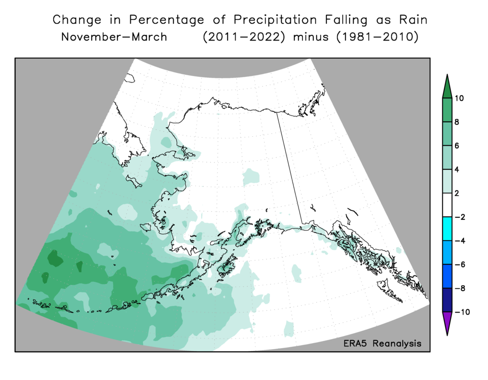
In light of the recurrent storminess in Kotzebue, reader Andy's recent comment about Nome being "inundated with snow in many recent winters" is very interesting and worth a closer look.  Let's have a look at November-March precipitation for the two sites: the charts below show results both from the standard climate observations and from the nearest grid cell in the ERA5 reanalysis.


The large wet bias in the ERA5 data is not unexpected in model data, and it's not generally regarded as a problem - the user just has to implement a bias correction.  Much more importantly, the year-to-year correlation between ERA5 and the ground truth data is fairly good back to about the mid-1970s, giving us some confidence in both sources for the last several decades.  (The ERA5 does not use precipitation observations in creating its global gridded estimates.)

Excluding pre-1980 data, there's little trend in Nome winter precipitation, although the two very wet winters of 2017-18 and 2018-19 certainly count as being "inundated".  At Kotzebue, however, there does seem to be a significant trend towards wetter winters in both the ERA5 and ground-truth data, and the absence of a "dry" winter since 2016-17 is notable.

As for the earlier decades, the situation is more uncertain.  The Nome precipitation data doesn't seem to have enough year-to-year variability in the 50s and 60s.  The correlation with ERA5 is poor in the early decades for both sites, although that by itself doesn't invalidate the climate observations, as the ERA5 uncertainties are much greater for that time.  The pre-1970 numbers from Kotzebue are so low that they seem unreasonable at first glance, but if indeed the winter climate was more truly Arctic back then, then perhaps much lower precipitation is plausible.  Utqiaġvik averages less than 2 inches total precipitation in November through March even after becoming much wetter in recent years.

So much for precipitation; but how about high winds (the "blizzard" aspect of the problem)?

We don't have consistent wind measurements across the decades, so I again turned to ERA5 and extracted the hourly wind speed back to 1950 for both sites.  I determined the peak wind speed for each winter (November-March), calculated the median of those numbers, and then found the number of hours each winter that exceeded that "typical winter maximum".  The ERA5 winds are a bit lower than reported by the ASOS instrument of today, and in reality this "typical winter maximum" corresponds to sustained winds of about 40mph in Nome and 50mph in Kotzebue.  Half of all winters see winds of at least this strength at some point.


To bolster confidence that ERA5 winds are realistic, I checked the highest values in the history.  The highest ERA5 hourly wind speed for Nome was at 9pm on December 28, 2021, and indeed that day saw a major wind storm that peaked at 8:30pm.  In Kotzebue, the highest ERA5 wind speed in recent decades was at 11pm on February 18, 2006, and the observed wind speed peaked at the very same hour.

It's interesting that both sites have seen an increased frequency of winters with relatively high winds in the past 20 years; there have been few winters without high wind, especially at Kotzebue.

As for the maximum winds each winter, there's a hint of an upward trend in recent year for Nome, with few recent winters on the low side of the distribution, and the change seems a bit more pronounced at Kotzebue - see below.

Finally, looking at the number of days that met the blizzard criteria in the past 25 years (approximately the ASOS era), there's again perhaps just a hint of an increase in Nome, and Kotzebue has had 9 or more blizzard days in 5 of the last 6 winters.


All in all, it does seem that a trend is emerging at Kotzebue, although as usual the year-to-year variability makes it difficult to be sure, and formal significance testing would likely not give a resounding message.  The trends at Nome seem more tentative and uncertain.  Remind me to take another look at this a few years from now...

Thursday, March 23, 2023

More on Snow Ratio

A few weeks ago I commented on the decrease in "snow ratio" of the last decade or so in Fairbanks.  Although winter precipitation obviously still falls as snow the vast majority of the time, the recurrent warmth of recent years has produced a lower ratio of snow depth to liquid-equivalent precipitation, and the occasional winter rain events (a few of them very large) have contributed significantly to this trend.

One would expect similar or larger trends to be found at western Alaska sites, where the proximity of the Bering Sea has produced excessive warmth in recent years: other than the North Slope, the west coast and Aleutians have seen the most significant winter warming of anywhere in Alaska in the past few decades.

But interestingly the results are mixed when looking at Bethel and Nome.  [Note that "snow depth" in the charts and discussion refers to the accumulation of daily snow amounts - the "total snowfall" - and not the actual depth of snow on the ground at any one time.  The latter is affected by compaction, evaporation, melting, blowing away, etc.]


Sadly snow measurements ended at most Alaska climate sites a few years ago, so the data isn't up-to-date, but I'm not sure there is much to glean from these two sites.  Bethel had several low-ratio winters after 2010, but the historical record looks a bit unrealistic, with clusters of high and low ratio winters that do not look as randomly distributed as we would expect.

As for Nome, the upward trend is quite striking, but I'm skeptical, given what we know about the dramatic warming in recent years.  It seems possible that snow depth may have been systematically lower in early decades, perhaps because of less shelter from buildings near the observing site, or perhaps because of different measuring practices.

We can look at the ERA5 reanalysis data for an alternative view of changes in the proportion of snow versus rain.  My last post showed that the model shows a change in Fairbanks since 2010-11, which agrees with the ground-truth observations.  On a statewide basis, the fraction of winter precipitation falling as snow has also dropped, with an increasing number of years with percentages in the low 90s, and fewer years (but still some) with nearly all precipitation falling as snow.


Note that the data prior to 1950 is a newly-released component of ERA5, and I included it "just because I can".  It's highly uncertain and probably not worth much at all.

On an annual basis the fraction of precipitation falling as snow has dropped off quite a bit since the 1970s, according to ERA5, with 1992 being the last year with more than half falling as snow (and that certainly was a very unusual year).


Here's a map of the total fraction of November-March precipitation falling as rain in the last 12 years (this makes for a more pleasing map than the inverse fraction):

The change from the prior 3 decades is heavily concentrated over the Bering Sea, where the increase in the percentage has been as much as 10% (e.g. a change from 50% to 60%).

The increase over land is much smaller in absolute terms, but of course it is large in relative terms.  Here's the percentage change, but only for locations with at least 0.1% rain fraction in the 1981-2010 period.


Looking farther afield, it's interesting to see that the largest changes, in absolute terms, have been across eastern Europe, the Norwegian Sea, and eastern mid-latitude China.  These are places where both rain and snow are common in winter, and the relative fraction varies a lot from year to year and decade to decade.  The tendency for a positive Arctic Oscillation in recent years has certainly produced warm winters in much of Europe and Asia.


The charts below illustrate the year-to-year changes for all land area north of 60°N.  It's interesting to see the annual fraction of snow apparently peak in the 1970s, consistent with a cool phase of the Atlantic Ocean.


Thursday, March 16, 2023

Lingering Cold

Temperatures have been volatile in Alaska over the past month or so, but overall the past 5-6 weeks have produced more cold than warm weather, and this week is certainly on the cold side for much of the state.

Last night dropped into the -20s and -30s Fahrenheit in many of the colder locations: click to enlarge the map below.


This kind of cold is a bit unusual for the middle of March, although nowhere near record territory.  For instance, today's record low at Bettles is -49°F, and just two years ago Bettles saw a remarkable -39°F on April 9.  Read more here on the great April 2021 cold snap.

It's interesting to note that the northern interior has had an unusual number of days with much colder conditions than in, say, Fairbanks this winter.  For example, Bettles typically sees half a dozen days with a low temperature 25°F colder than Fairbanks, but there have been 13 such days this winter.  This is the fourth straight winter with 10 or more such days.

Here's this morning's mid-atmosphere (500mb) map, courtesy of Environment Canada.  A deep trough extending south from the Arctic means a cold air mass, a weak pressure gradient means light winds, and with the main jet stream activity far to the south, clear skies provided the final ingredient for sharp overnight cooling.


Views from the FAA webcams this afternoon are simply glorious; here's Bettles and the Chandalar Shelf DOT site:


Saturday, March 11, 2023

February and DJF Climate Anomalies

Just a quick post this weekend as I'm traveling - a look back at February and climatological winter (December-February).

February was the coldest month of the winter for the state as a whole, which happens about 20% of the time (compared to 47% for January and 33% for December).  The month was colder than the recent normal, but not by a large margin, and it would have been near-normal in earlier decades.


The winter as a whole was significantly warmer than normal because of the very warm January:


February precipitation was widely above normal for western and interior Alaska, but it was a relatively dry month for the northern Gulf coast.  This fits the bill for a typical La Niña winter pattern, and the DJF precipitation map shows broadly the same thing, despite the warmth being uncharacteristic of a traditional La Niña.


Finally, according to the ERA5 model, February wind was notably lacking for much of interior, southern, and western Alaska, despite the first of two big blizzards occurring in the latter part of the month in Kotzebue.


Monday, March 6, 2023

Kotzebue Blizzards

Kotzebue has been seeing some rough weather lately, with the second big blizzard of the past two weeks winding down today.  Twitter user Tundrabilly has been documenting the conditions.


Here's a chart showing the frequency of blizzard conditions as a percent of all hourly ASOS observations in the last 25 years.  February is peak blizzard season, and the climatological frequency doesn't drop off a whole lot in March.  However, the percentage only peaks at about 1%, so a true blizzard is unusual weather even at this time of year.


The much lower frequency in January might be at least partly a statistical artifact, but it appears in both the first and second half of this 25-year period, so I'm inclined to think it is a real feature of the climate.  Presumably the jet stream drops far enough south in January that strong storms are less common in Kotzebue; but this is a topic for further investigation.

If we exclude the visibility requirement of the blizzard definition, then the December and November frequencies jump up above the February and March frequencies, respectively.  It seems that low visibility is more readily attainable in late winter, perhaps because there's much more snow lying on the ground throughout the region (available to be blown around), or perhaps because the air tends to be drier in late winter (making snow more powdery).


Saturday, March 4, 2023

February Regime

As noted in my last post, February was quite snowy again this year in Fairbanks, and it's worth following up on this.  With 21.1" of snow, last month makes 5 of the last 7 Februarys with over 20", and all 7 have seen above-normal snow.

In the preceding 87 years (1930-2016) there were only 7 Februarys with 20" or more, so the probability of randomly getting 5 of 7 years above that mark is extremely small indeed (less than 0.00001, assuming no year-to-year correlation).  Obviously this indicates that "something has changed"; the global circulation and the February weather patterns around Alaska have behaved differently in the last 7 years than in earlier decades.


Here's the average sea-level pressure anomaly for February in the last 7 years. 

On average, SLP has been more than 10mb higher than normal over the mid-latitude North Pacific to the south of Alaska.  That's a very large departure from normal, and it signifies a stronger than westerly component to the flow over southern Alaska.  The map below shows the departure from normal of the wind vectors (speed and direction).


The more westerly flow regime is favorable for importing Pacific and Bering Sea moisture to interior Alaska, and the pattern also tends to set up a (cloud/snow-producing) frontal zone across southern Alaska.  Here's the lower-atmosphere temperature anomaly: it has tended to be colder than normal in western Canada and northern Alaska, but warmer than normal across the northern Pacific.

The pattern is substantially similar to a typical La Niña winter pattern, except that the North Pacific ridge often extends more strongly to the northwest across the Bering Sea during La Niña.  In contrast, recent Februarys have seen low pressure in the western Bering Sea and a ridge axis farther to the east over Alaska itself (see the SLP map above).  This means that there has been far less cold for Alaska than you would expect during La Niña.

Of course, we have indeed seen a preponderance of La Niña in the past 7 winters; 4 of the 7 years had bona fide La Niña conditions in February.  Winters 2018-19 and 2019-2020 were more El Niño-like (although not strongly so), and it may be no coincidence that the two recent Februarys with under 20" of snow in Fairbanks were those ones.

However, the recent state of affairs is not as simple as a recurring La Niña regime causing excess snow in Fairbanks; some of the strongest La Niña's of the past have been dry, not snowy, winters in Fairbanks.  Compare the sea surface temperature maps below; the first shows the typical SST pattern for La Niña in February, and the second shows the pattern from 2017-2022.  (The ERA5 data for February this year isn't available yet, but I've included an ERSSTv5 map for last month as well.)


What strikes me here is that recent Februarys have seen much more warmth in both the Bering Sea and the western Atlantic Ocean than is typical for La Niña.  It seems clear that the western Bering Sea warmth is associated with the recurrent low pressure there - which again is not typical of La Niña - and both the flow trajectory and the excess of moisture (from excess evaporation) have favored abundant snowfall in Fairbanks.

Evidence of excess atmospheric moisture upstream of Fairbanks can be seen in the anomaly of precipitable water for the last 7 Februarys: it has been above normal over the Bering Sea.


As for the abundance of warmth in the western Atlantic, this has helped reinforce (and has been reinforced by) the U.S. East Coast ridge that is part and parcel of the continental-scale flow regime.  Here's the global 500mb height anomaly for February in recent years.

The connection between the North Pacific ridge and the East Coast ridge is an example of a long-distance "teleconnection", and the pattern has been pronounced in recent years.  It's not coincidental, then, that the southeastern U.S. has seen unusual February warmth for - you guessed it - the past 7 years, and this February was one of the warmest on record.

To illustrate, here's a scatterplot of Fairbanks February snowfall versus February temperature at my location in northeast Georgia.  There has always been a relationship, with a snowy Fairbanks often corresponding to a warm Georgia, but the joint anomaly has been very striking in recent years.


When will the pattern change?  It's impossible to say, of course, but next winter has a good chance of seeing El Niño, and so the North American pattern should be significantly different.