Except for Southeast Alaska, much of the state is stuck in a wet and stormy pattern, and minor flooding is occurring on the Tanana River near Fairbanks. The next round of stormy weather has prompted wind advisories and warnings to be issued for tomorrow in the Alaska Range as well as higher elevations to the north of Fairbanks.
The high water in the Tanana is coming mainly from excessive rains to the south - the Alaska Range - rather than the Yukon-Tanana uplands to the north, and it seems the Chena River isn't running particularly high. However, the Snotel sites to the east of Fairbanks have also reported quite a lot of rain in recent weeks, for example 9 inches of rain at Upper Nome Creek in the last 3 weeks.
The Tanana gauge near Fairbanks shows the water level about a foot above flood stage, i.e. enough for nuisance flooding of low-lying areas.
Here's a before-and-after comparison of webcam views from Nenana: one week ago versus today. Click to enlarge.
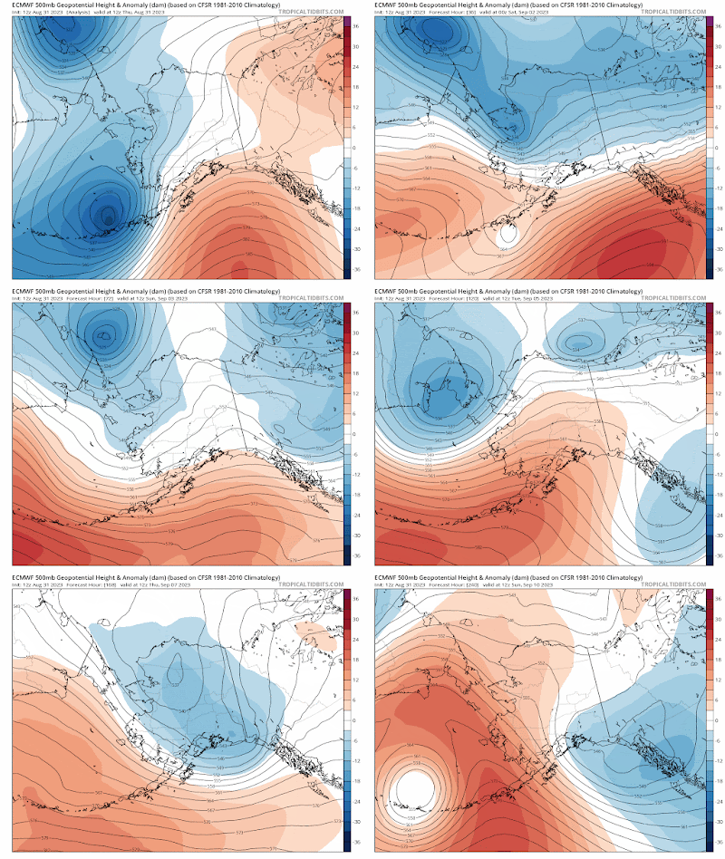
And here's a simple animation of the latest 10-day forecast from the ECMWF's deterministic model, showing a very active weather pattern with several troughs affecting Alaska in the next week.


No comments:
Post a Comment